Guess who ran out of color film during the greenest Morocco in years, right after a long drought? Yep, me. The second part of the journey slowly follows the upper coast to Tanger, Qued Laou and then ended in one towns of the Rif mountains called Moulay Abdeslam.
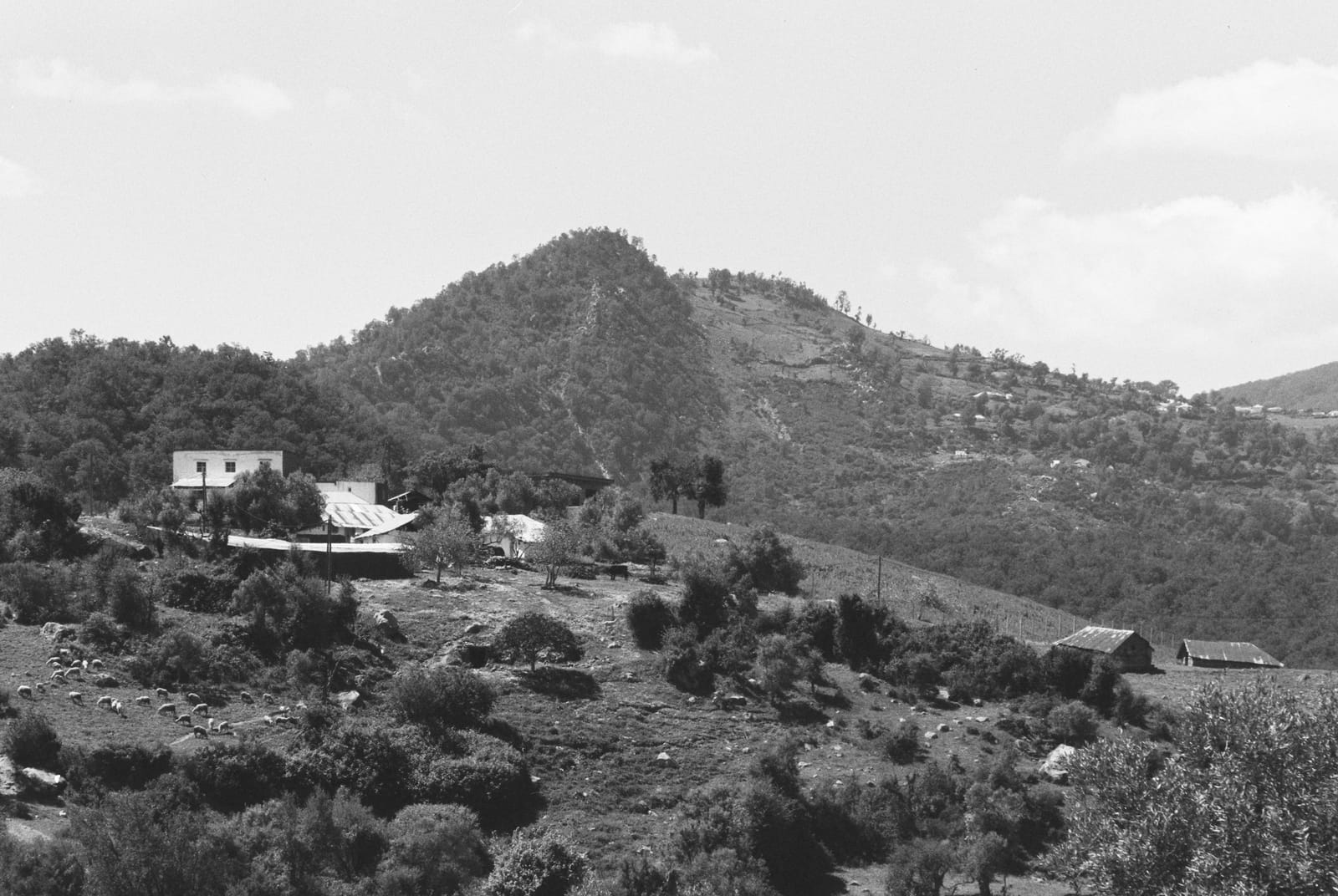
Close to Sidi Abd el Quahad, Morocco — A remote farm surrounded by nature and an interesting looking hill
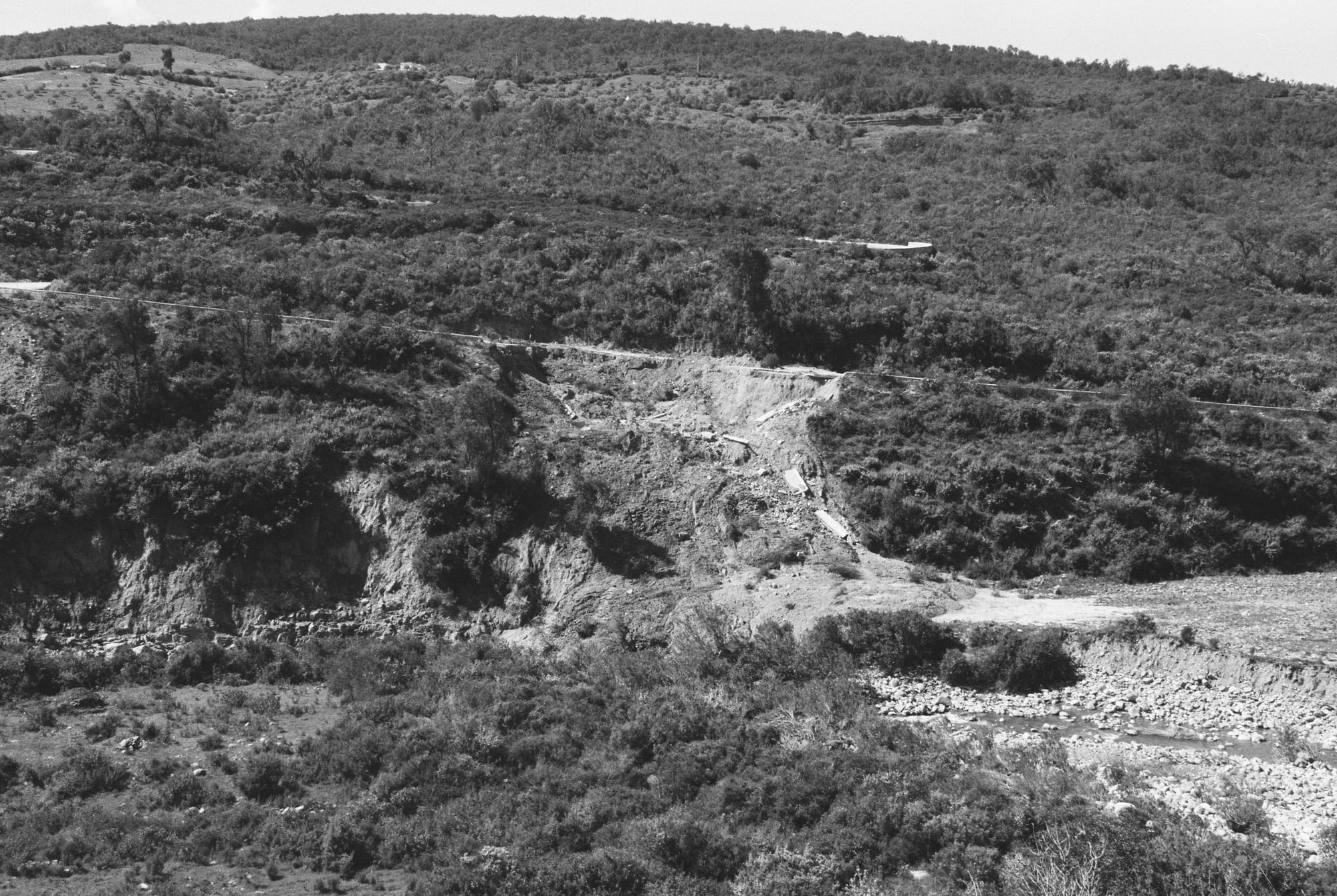
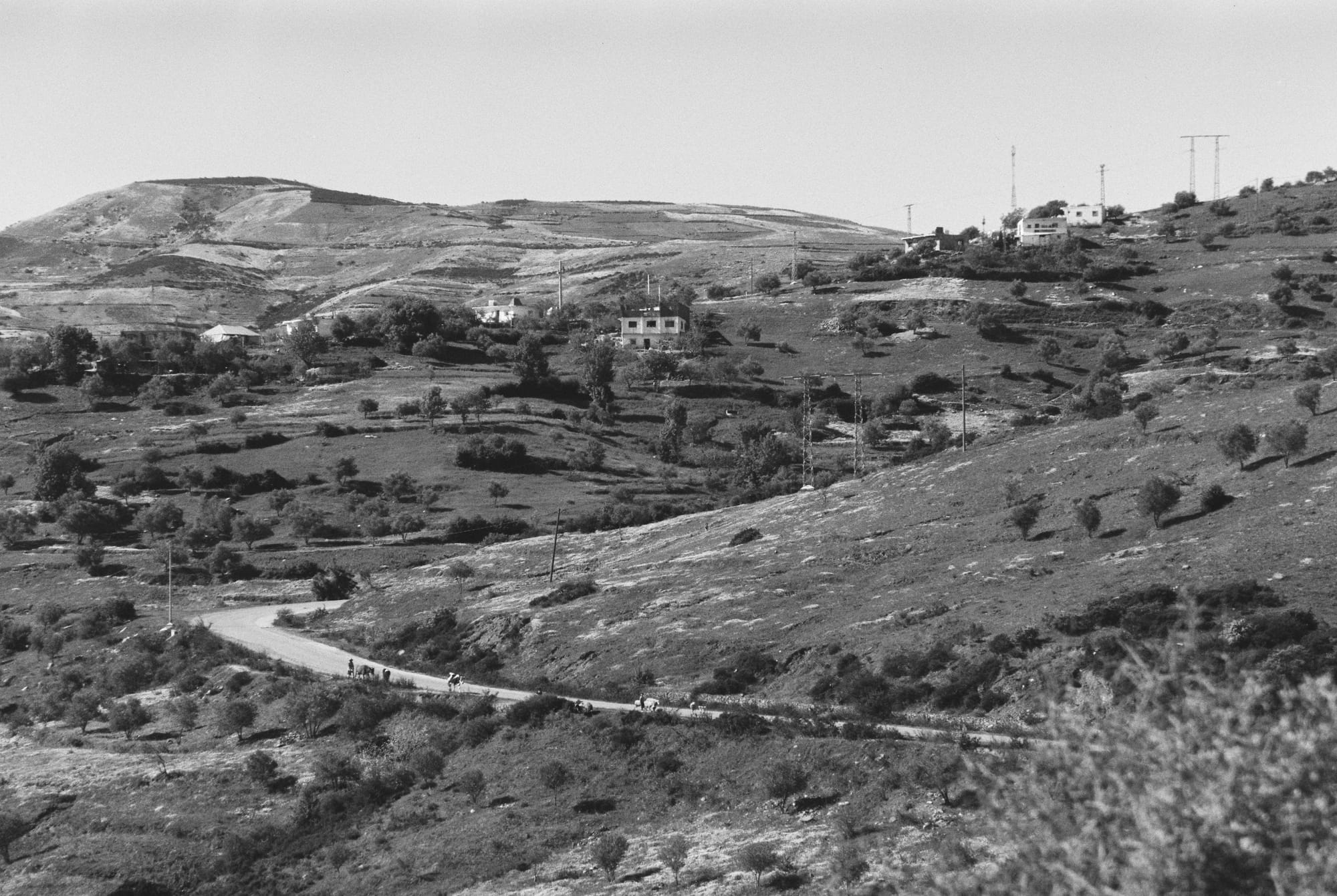
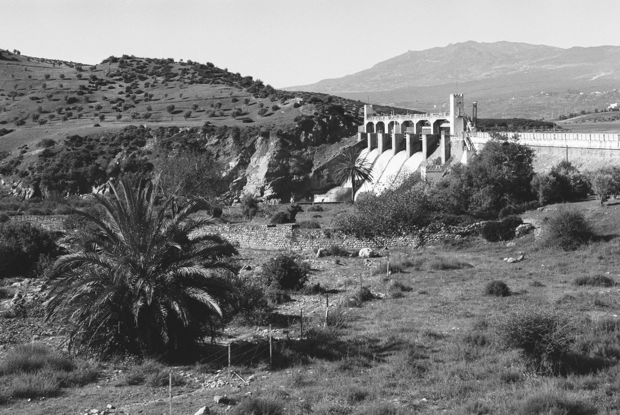
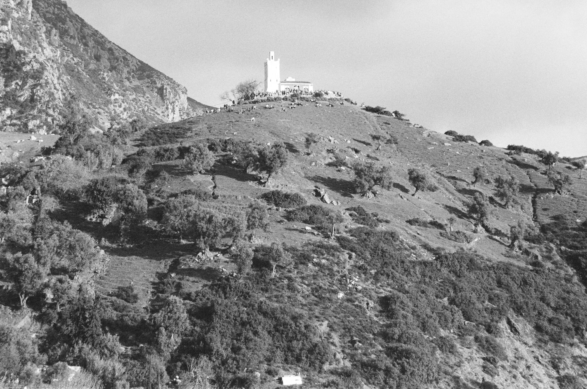
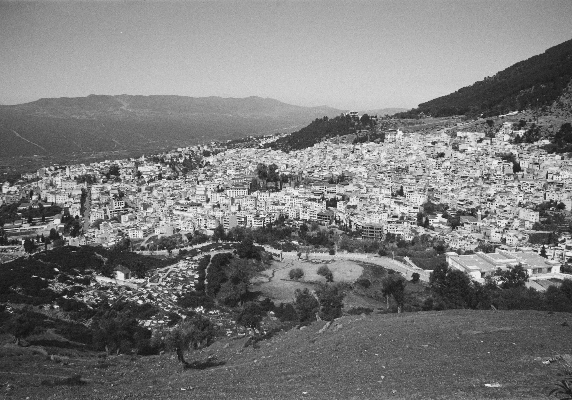
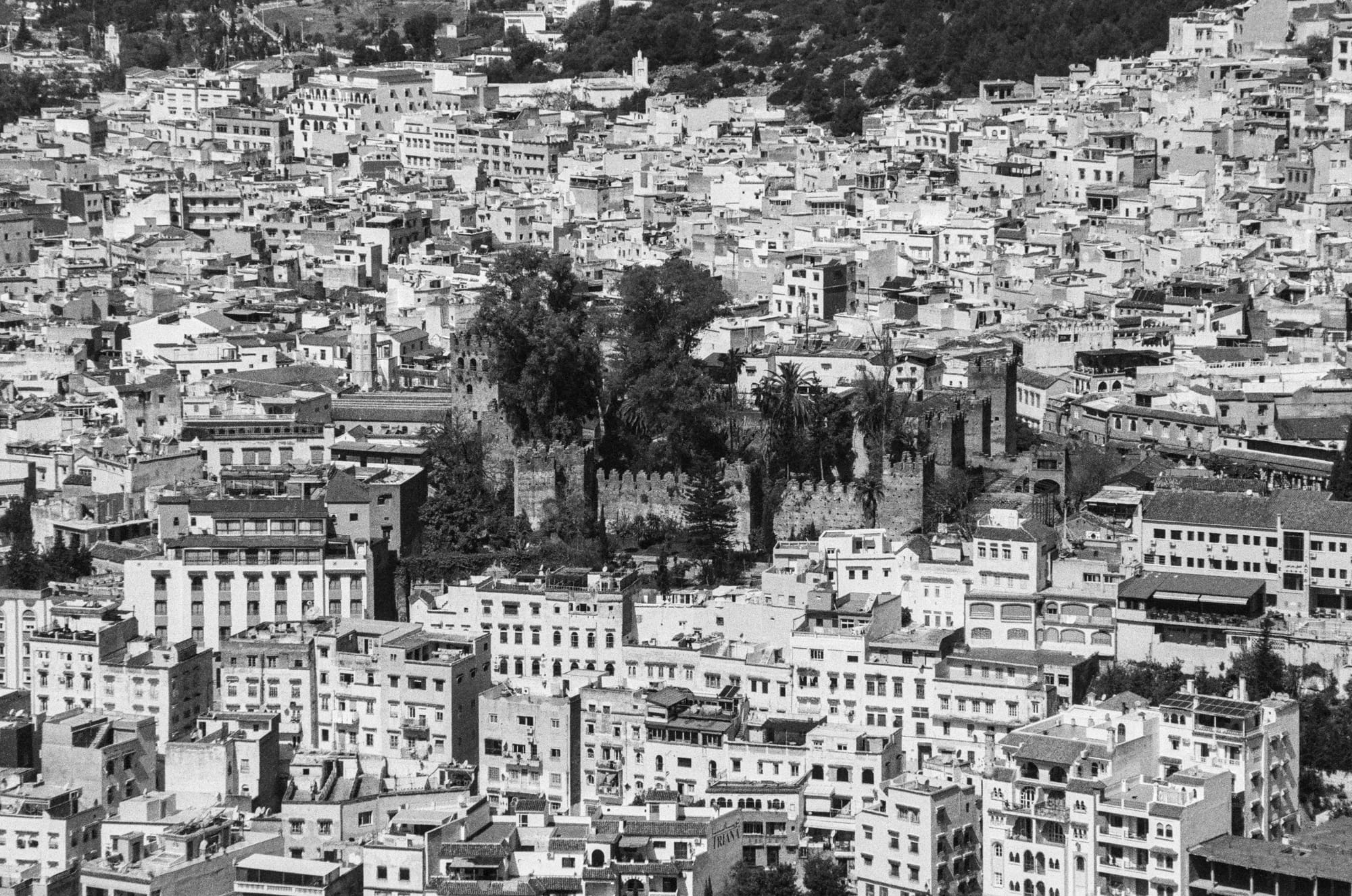
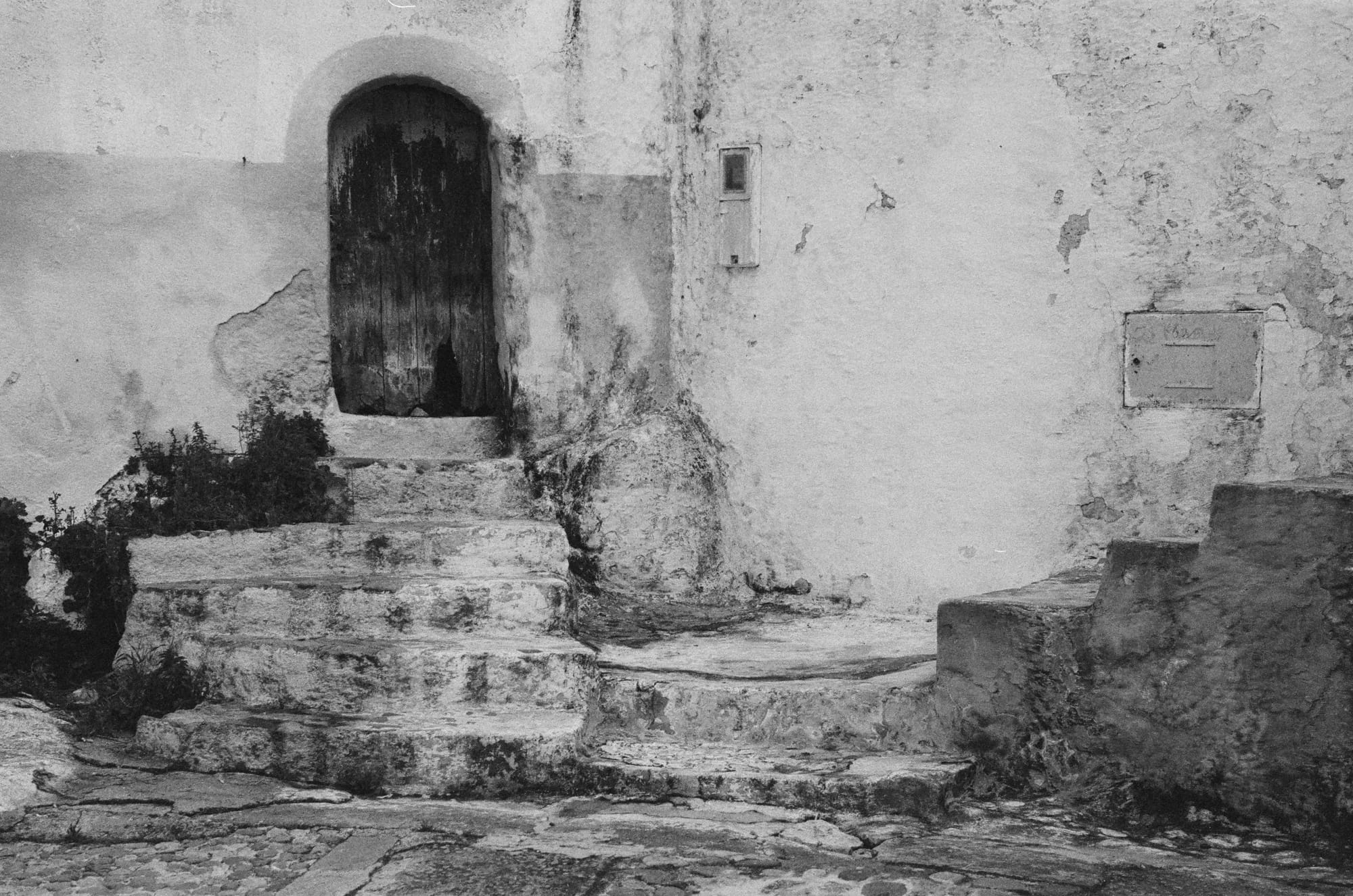
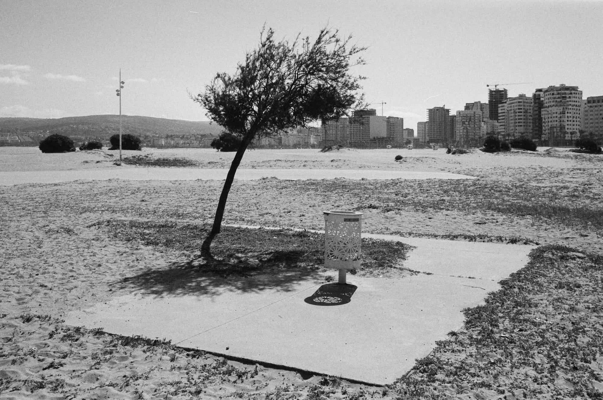
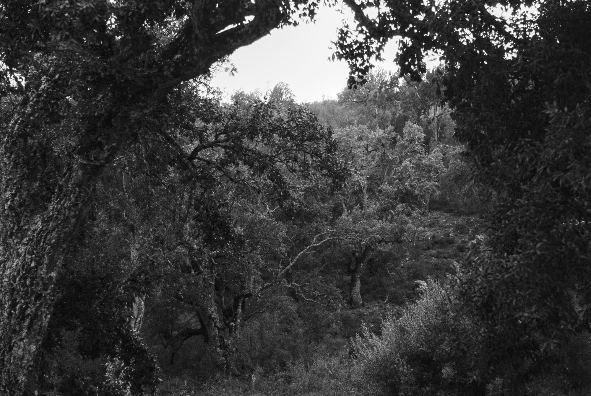
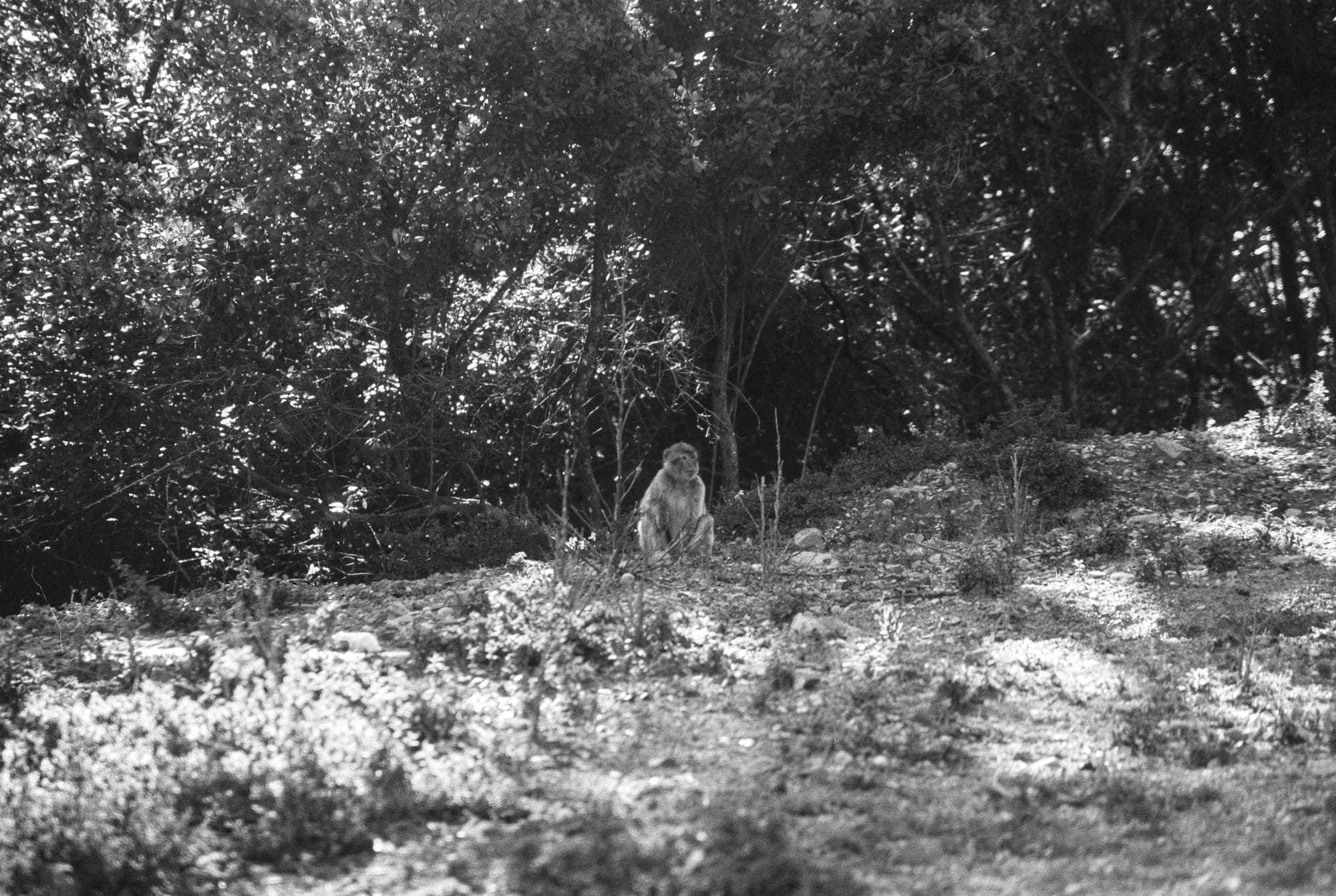
Although the infrastructure in the Rif Mountains is surprisingly good along the main roads, the entire region suffers from heavy landslides after almost every period of heavy rain.Morocco — Rural ImpressionBarrage Oued Laou, MoroccoChefchaouen, Morocco — People are gathering around the Bouzafer Mosque to see the sunsetChefchaouen, Morocco — Panorama of the city seen from the hiking trail to the Bouzafer MosqueChefchaouen, Morocco — Detail: The KasbahChefchaouen, Morocco — Seen close to the Sebbanin BridgeTanger, MoroccoQued Laou, MoroccoMoulay Abdeslam, Marokko — Forrest seen from Maison d'hôtes "Abou-Hachem"Moulay Abdeslam, Marokko — The Rif mountains is the natural habitat of Barbary macaques. On my last day this female with a young (not visible on this picture) crossed the street in front of me.. after searching them for three full days.