Northern Morocco — From Tangier to the Rif and back to Salé
Guess who ran out of color film during the greenest Morocco in years, right after a long drought? Yep, me. The second part of the journey slowly follows the upper coast to Tanger, Qued Laou to Chefchaouen and then ended in a town of the Rif mountains called Moulay Abdeslam.
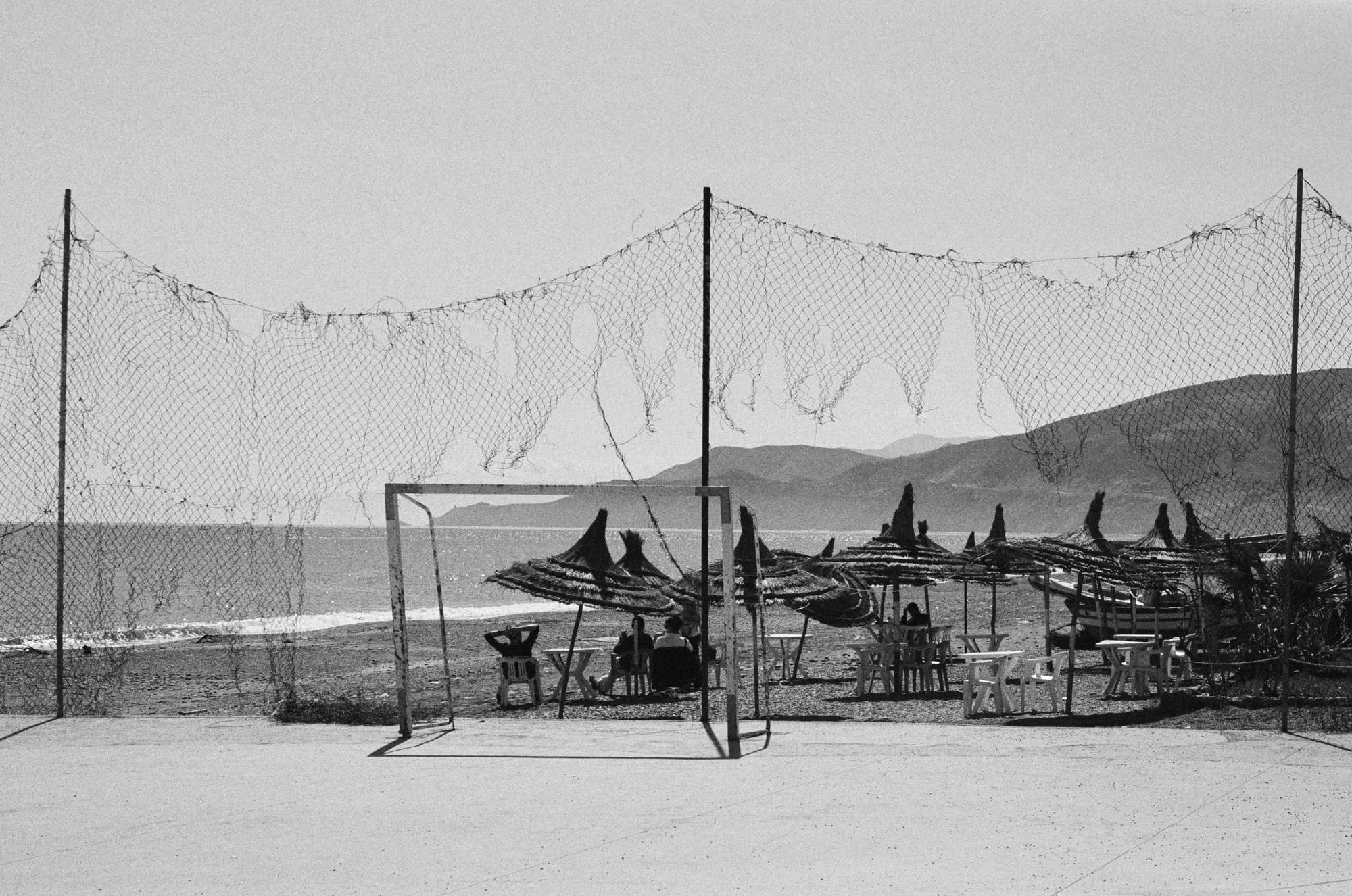
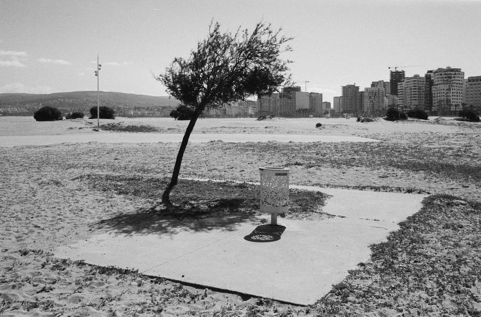
Tangier, Morocco — Plage municipale // Ilford Pan 400
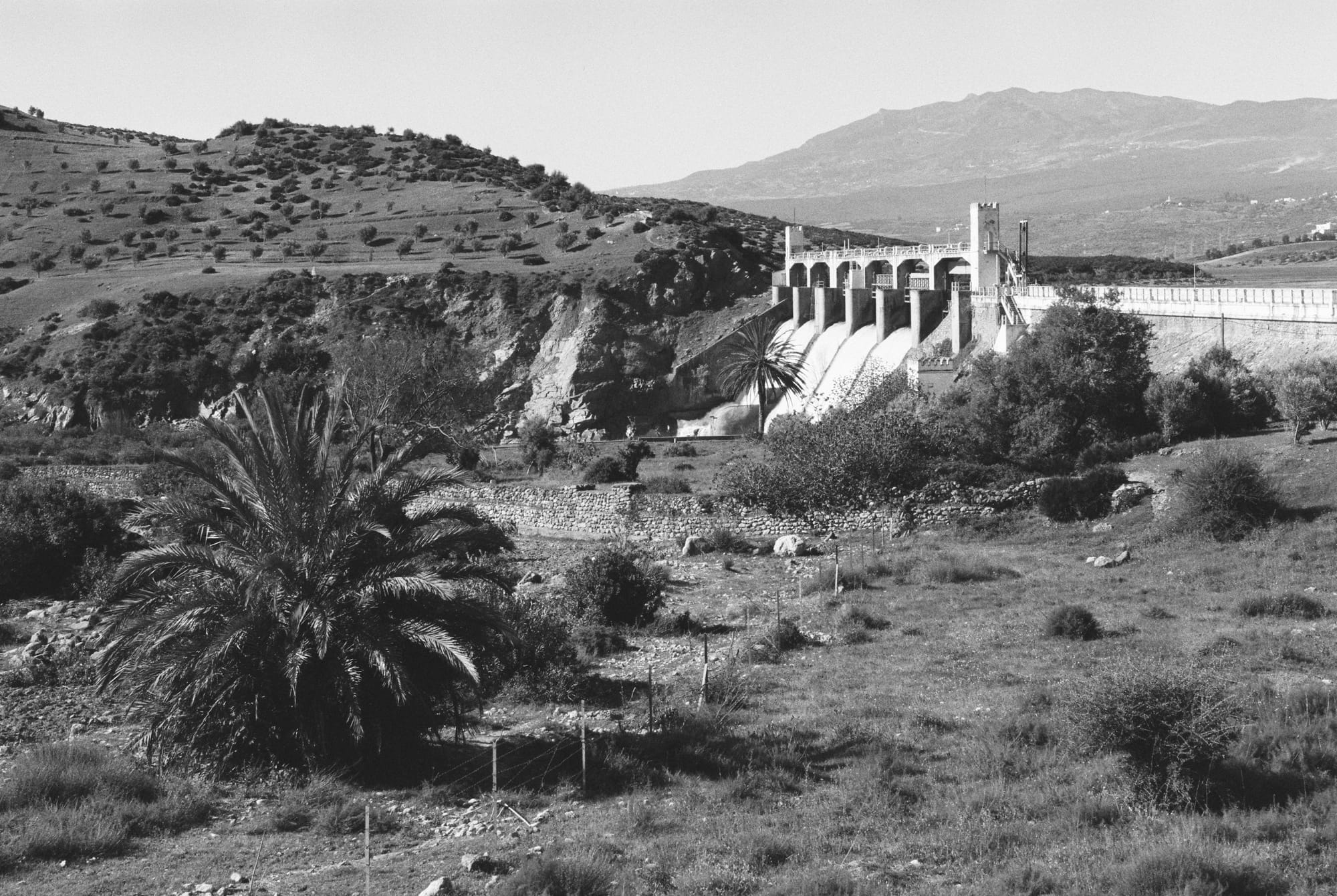
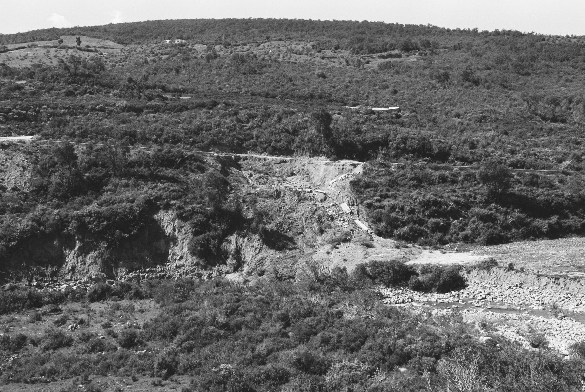
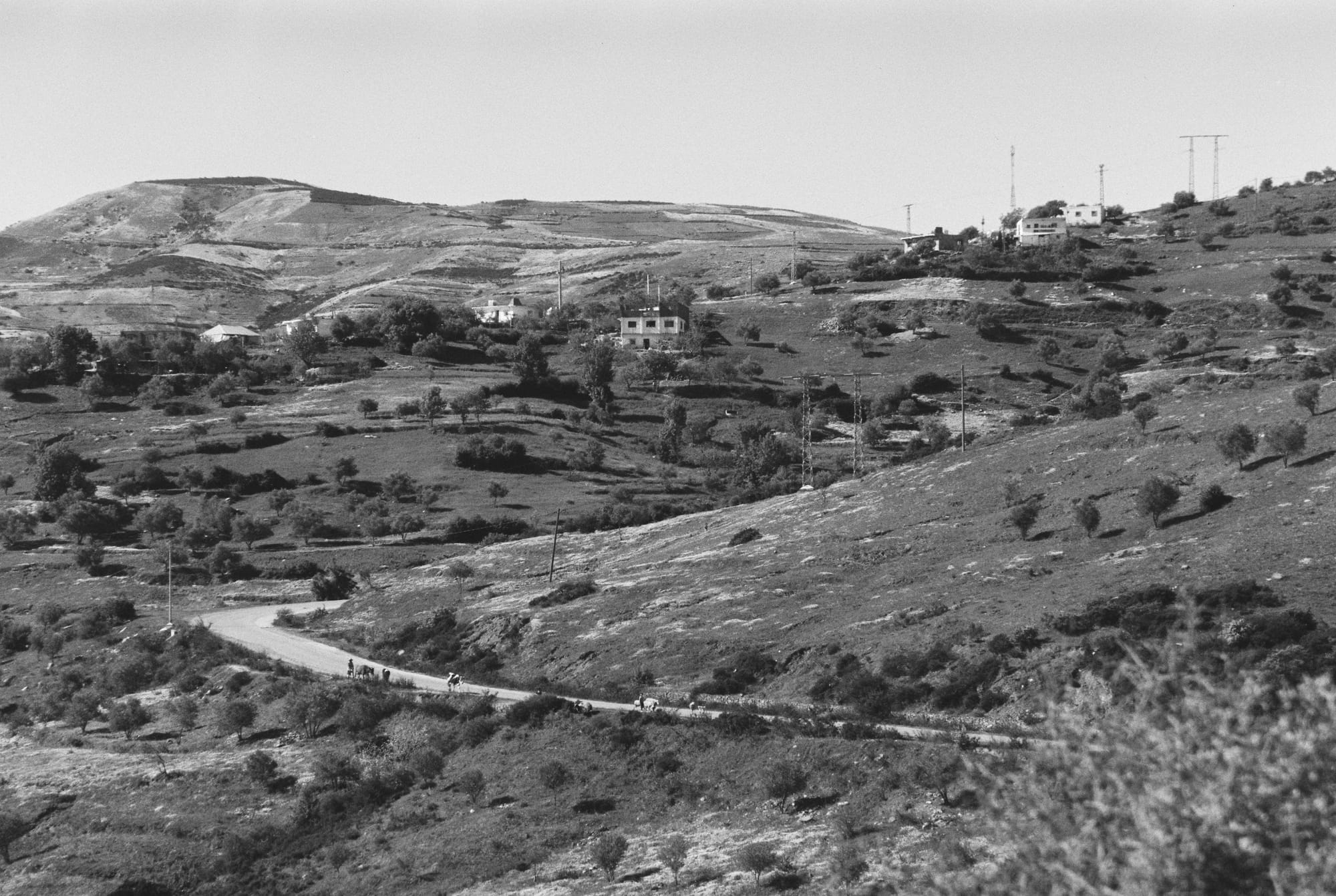
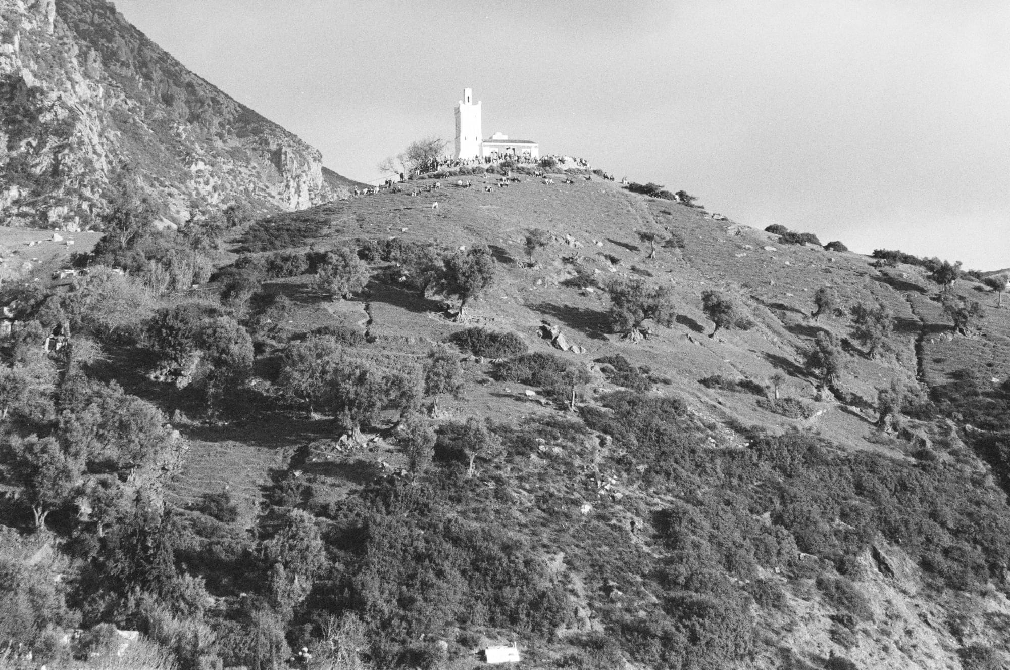
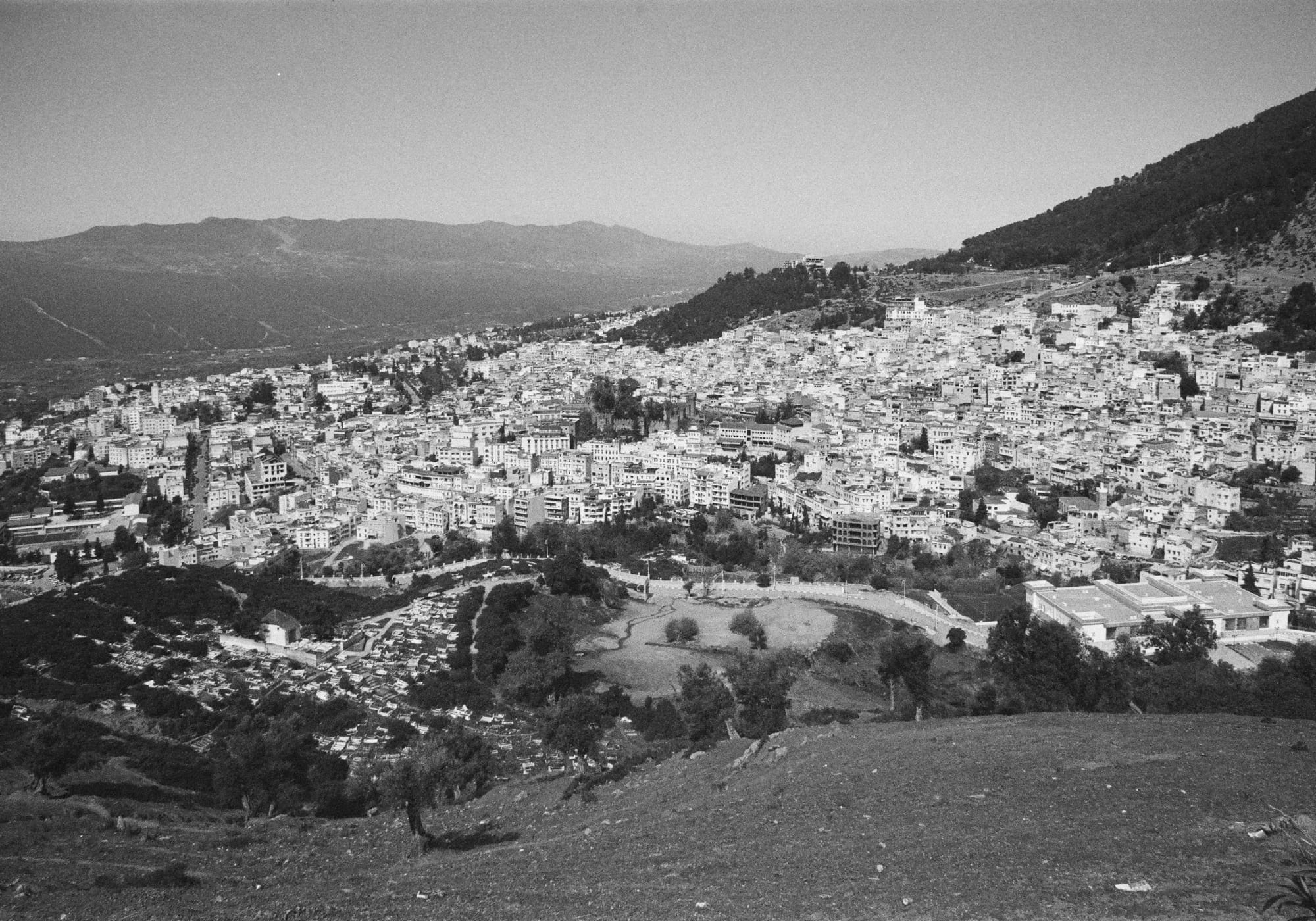
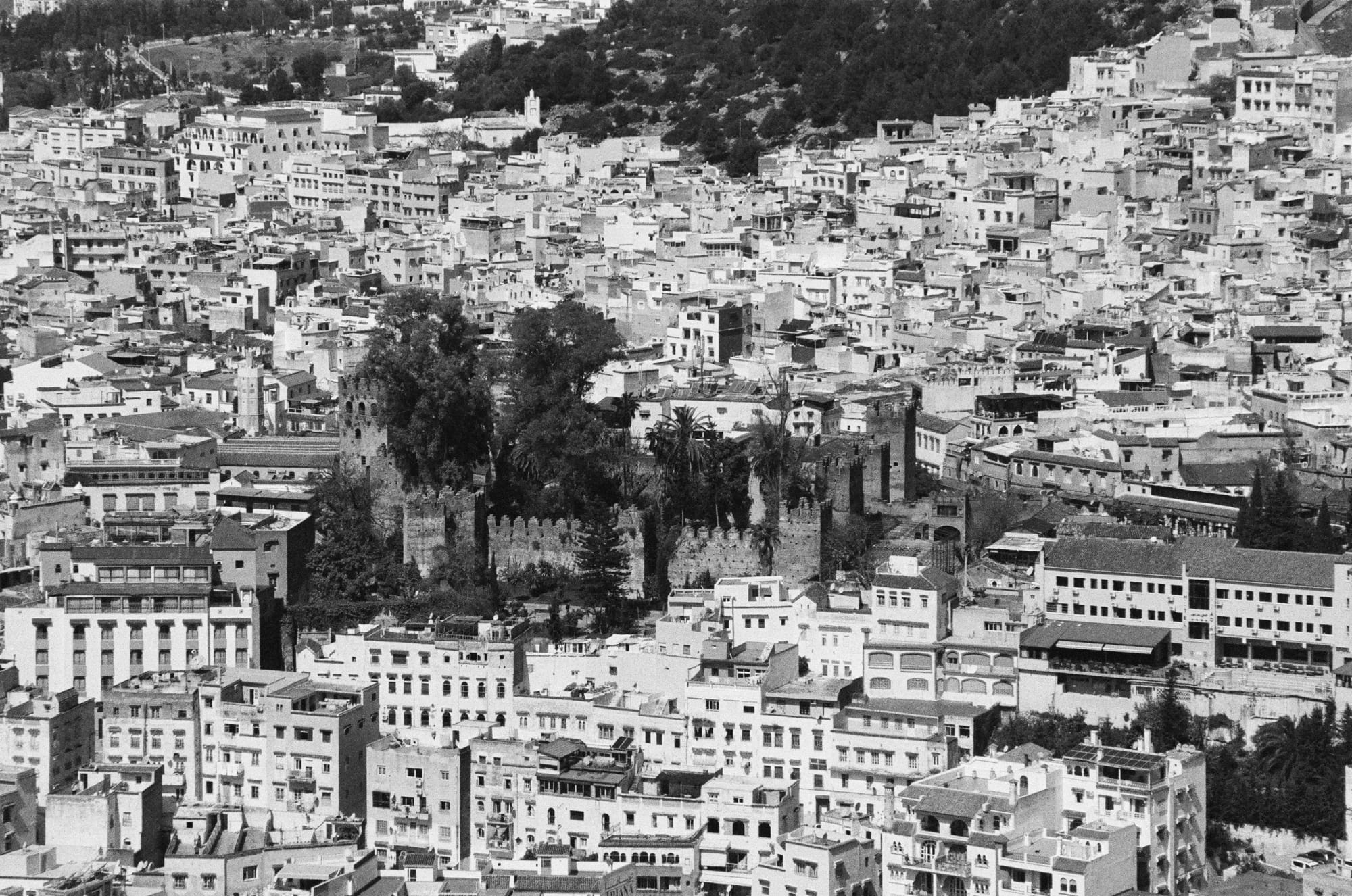
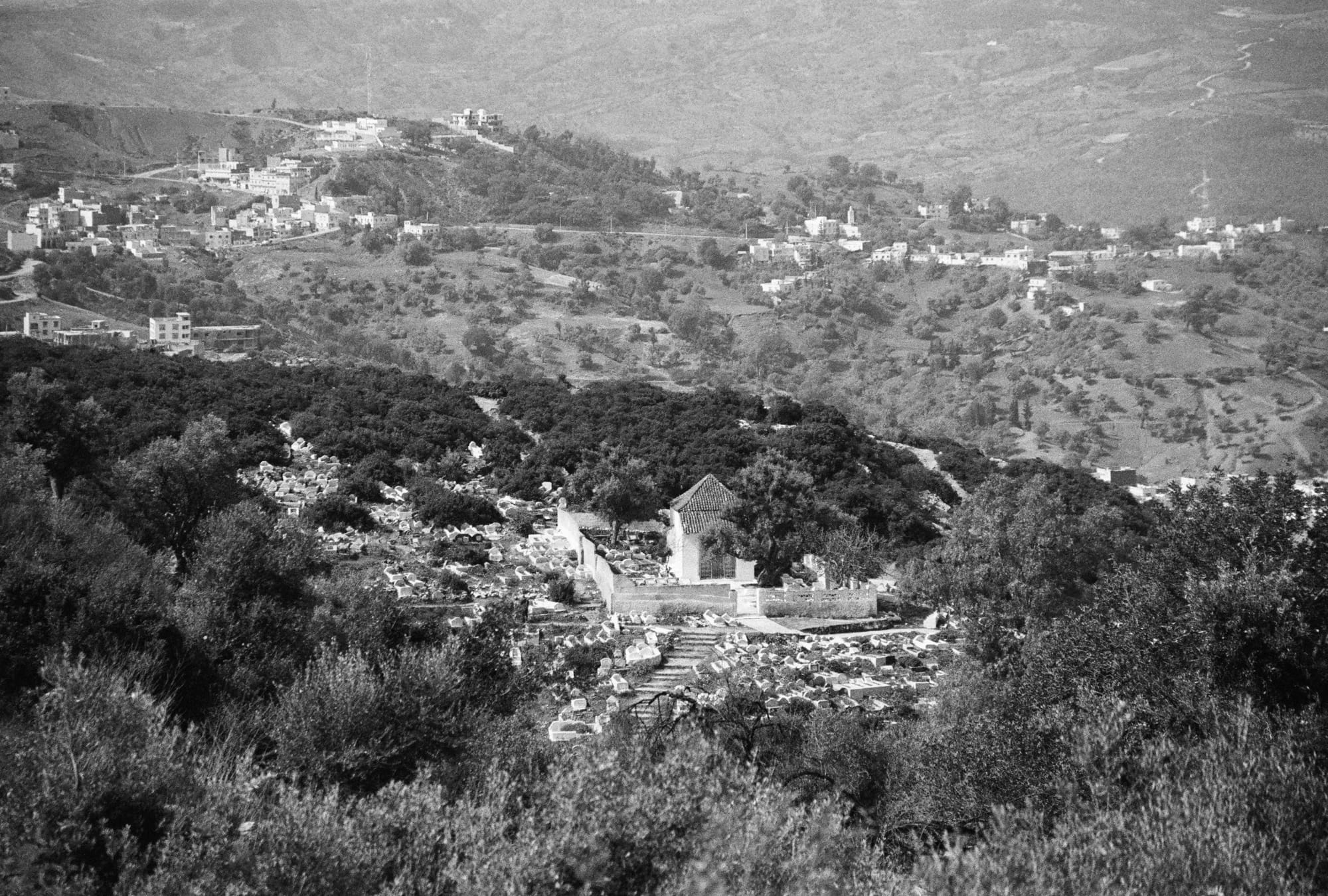
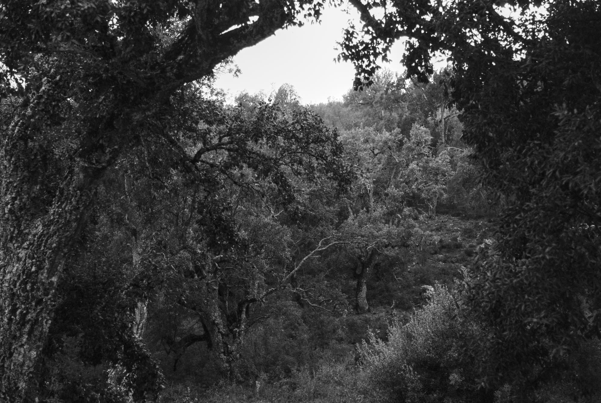
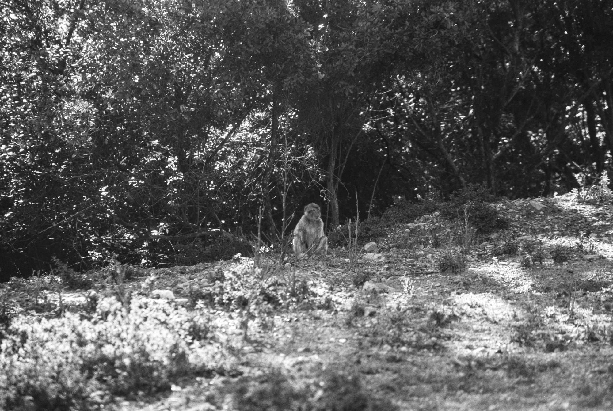
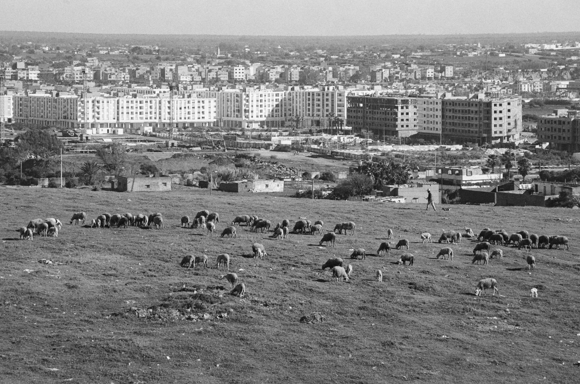
Qued Laou, Morocco // Ilford Pan 400Barrage Oued Laou, Morocco // Fomapan 200Although the infrastructure in the Rif Mountains is surprisingly good along the main roads, the entire region suffers from dangerous landslides after almost every period of heavy rain. // Fomapan 200Larbaa Beni Hassen, Morocco // Fomapan 200Close to Sidi Abd el Quahad, Morocco // Fomapan 200Chefchaouen, Morocco — People are gathering around the Bouzafer Mosque to see the sunset every evening // Ilford Pan 400Chefchaouen, Morocco — Panorama of the city seen from the hiking trail to the Bouzafer Mosque // Ilford Pan 400Chefchaouen, Morocco — Detail: The Kasbah // Ilford Pan 400Chefchaouen, Morocco — Detail: The Cemetery // Ilford Pan 400Moulay Abdeslam, Marokko — Forest seen from the hotel "Maison d'hôtes Abou-Hachem" // Fomapan 200Moulay Abdeslam, Morocco — The Rif mountains are the natural habitat of Barbary macaques. On my last day this female with a young (not visible on this picture) crossed the street in front of me.. after searching them for three full days. // Fomapan 200Salé, Morocco — Football field belonging to a housing complex // Ilford Pan 400Salé, Morocco — The view from my rented room on my last day // Ilford Pan 400